[< Previous 15 16 17 18 19 20 21 Next >]
Cave hill 20
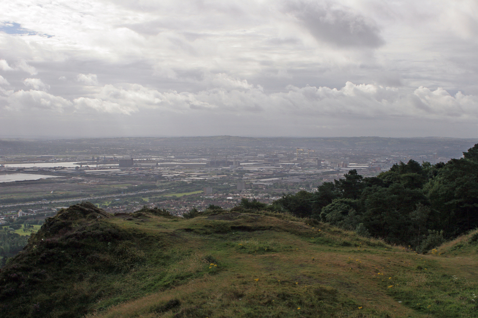
| Description: | Belfast July 2006,
Cave Hill,
Belfast Castle
Napoleon's nose
Port of belfast
Belfast Harbour
About the Cave Hill
The Cave Hill dominates the skyline on the northern edge of Belfast. It stretches from Hazelwood in the north to Carr's Glen in the south. Most of its lower east side is comprised of the Belfast Castle Estate. The Cave Hill rises to almost 370 metres (1,200 feet) above sea level and offers superb panoramic views over Belfast and the surrounding areas. (For comparison, Slieve Donard is about 2,800 feet, Mount Snowdon is 3,560, Ben Nevis is about 4,400, Mont Blanc is 15,800 and Mount Everest about 29,000.) To the east is Belfast Lough and the North Down peninsula. To the south lie the Mourne Mountains. To the north and west lie the Antrim hills and the Sperrins. Roughly 25 miles to the north-east lies the Mull of Galloway on the south-west tip of Scotland. This is a view of McArt's Fort from the north
The Belfast Hills range over four local authority areas, namely Antrim, Newtownabbey, Belfast and Lisburn. Only Cave Hill and Collin Glen have public park status
|
Submitter :webmaster - More Photos from webmaster
Last Update: 2006/8/14 16:07 Hits: 7885 Comments: 0
|
|
[< Previous 15 16 17 18 19 20 21 Next >]